By Johna Till Johnson and Vladimir Brezina
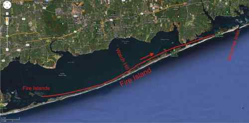
 Fire Islands to Moriches Inlet
18 nautical miles (21 land miles)
.
(click on photos to expand them—they look a lot better when they’re BIGGER!)
After last night’s drenching, we felt like blooded wilderness campers.
The day dawned windy and cloudy, but clearing. After breakfast and coffee out on the sandbar, we dried things as best we could, packed up, and set off.
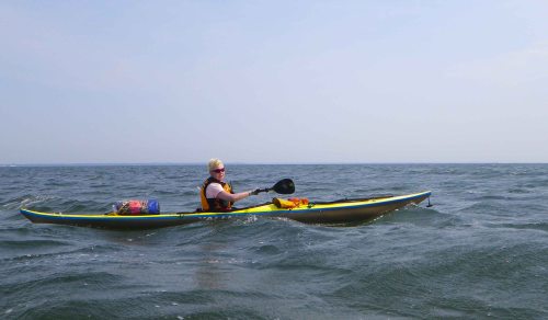
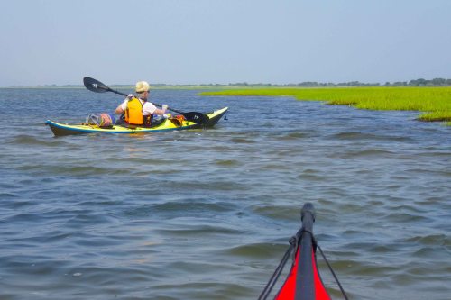
The west wind of the past two days continued. With the wind behind our backs, we surfed on the wind-driven waves east across the Great South Bay.
The current was with us at first, but as the morning wore on, it turned against us. It wasn’t strong, but enough to convince us to draw close to Fire Island on our right, so we could take advantage of the wind while staying out of the current.
And, of course, to admire the houses (and people)!
It was the Friday before a holiday weekend (the Fourth of July was the upcoming Wednesday), and homeowners were out in force, making preparations for the festivities. After two days of watching seabirds and fish, it was quite a change to look at bronzed humans.
And, well, how to put this appropriately? Quite a lot of the homeowners were male… and in exceptionally good shape… and feeling no need to wear shirts in the morning sunshine. So Johna stayed particularly close to the shoreline… since the scenery was so good! (For our overseas readers who may be unaware, Fire Island has a high gay-male population.)
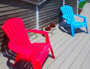
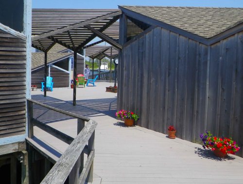
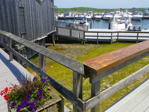
At midday we arrived at the Watch Hill marina and campground. It turned out to be a good thing we hadn’t tried to camp there the previous night. The only place to land kayaks was a little beach at the entrance to the marina, a good half-mile away from the campground, and there was no way
we could transport our loaded boats half a mile. (It wouldn’t be the last time we ran into this situation.) But we were able to restock with water, and have a quick bite: Burgers and fried clams, and a virgin daiquiri for Vlad. And for the first time in days, no sand in the food!.
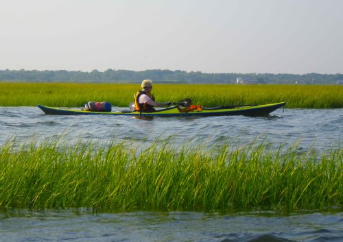
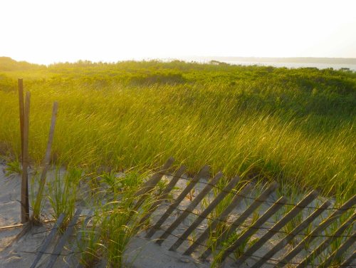
Then we continued east, along the grassy edge of Fire Island. In the late afternoon, we passed under the William Floyd Parkway bridge into the next bay to the east, Moriches Bay.
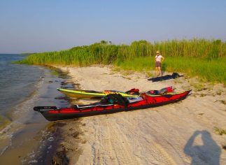
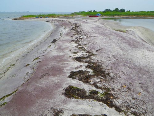
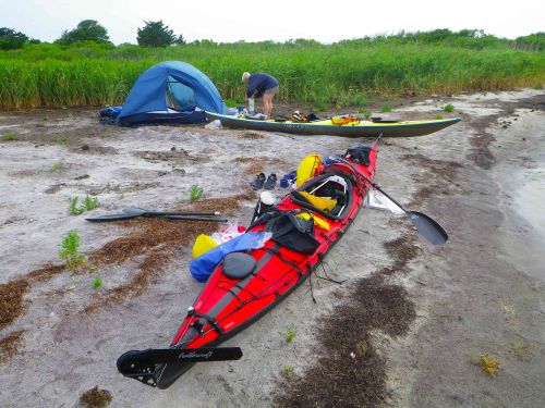
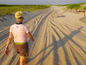
We land on “Fire Island Beach” (the tire tracks running through the prospective campsite are a little disconcerting…)
Once again, we paddled until the sun was low on the horizon, then began scouting out campsites. We settled on a small beach (“Fire Island Beach”) girded all around by reeds, but with a road leading out over the dunes—carrying the possibility of crossing easily over to the ocean side of Fire Island. For a day now, as we had paddled along Fire Island, we had heard a powerful rhythmic booming just behind the sand dunes—the Atlantic surf! Now we would see it.
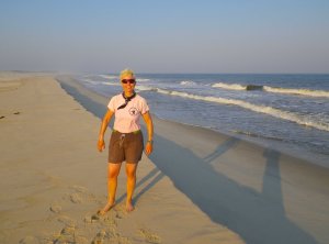
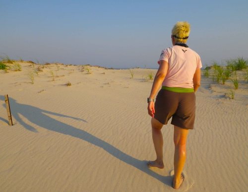
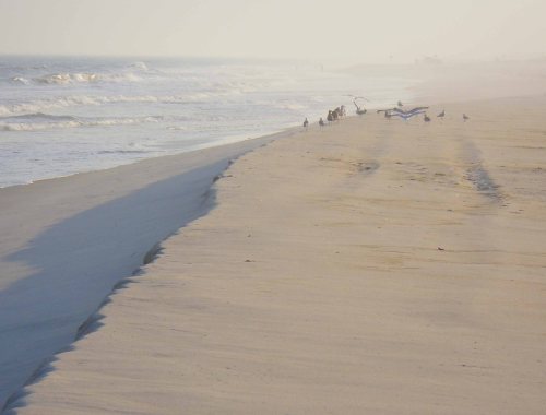
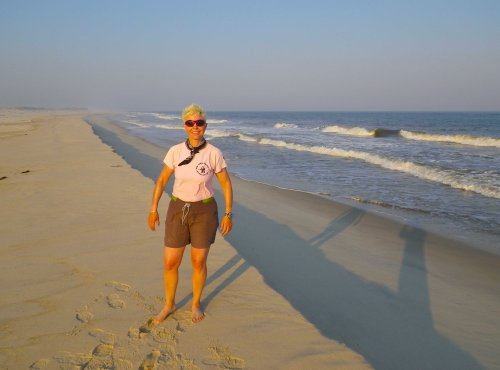
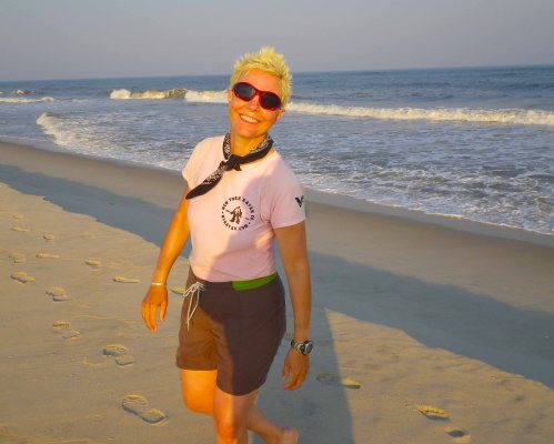
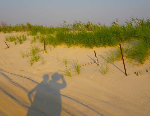
Sure enough, by following the road we found a spot to climb over the low dunes. Suddenly, we found ourselves on a wide, pristinely white beach, completely empty, extending in both directions into the hazy distance, with the waves booming and rumbling in front of us. In the light of the setting sun, the sight quite took our breath away for a few moments.
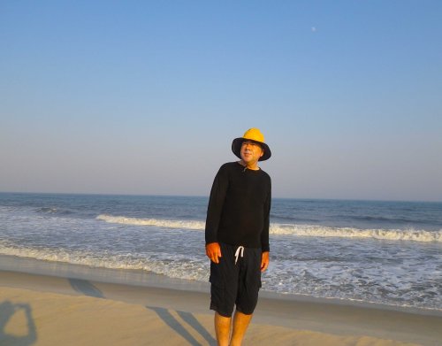
Vlad wandered about taking photos. Johna looked at the surf and shuddered inwardly. In two days’ time we would be making the “run up the coast”—paddling a 35-mile stretch through the ocean along a beach very much like this one. We weren’t planning to land through the pounding surf, but in an emergency we might have to—and then we we’d risk damaging our boats, and ourselves. So as Johna watched the relentless crashing waves, she thought about the challenge of landing in them.
We crossed back over to the campground, pitched the tent, and made dinner. Due to last night’s drenching, all the bedding was damp—but thankfully the evening was warm.
.
.
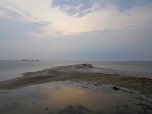
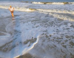
We took a stroll along the beach, through the warm, gently lapping waves, then fell asleep just as the sun set.










Pingback: Long Island Kayak Circumnavigation: Day 2—Jones Inlet to the Fire Islands | Wind Against Current
Absolutely brilliant diary in both pictures and words….:)
LikeLike
Thanks!
LikeLike
Thanks for sharing your wonderful adventure. That sunset is just gorgeous.
LikeLike
Thanks for reading! Yes, it was–we had fantastic weather on this trip, for a change–we usually get rain and storms. Though, as you’ll see, we did get some of those, too!
LikeLike
It’s so wonderful to read about your adventures, and the photos are beautiful.
LikeLike
Thanks for reading! More to come…
LikeLike
From this side of the Atlantic your adventures are admirable and enthralling and we get to see all these breathtaking views without getting our feet wet.
LikeLike
Thanks, Laura!! Lots more to come!
Getting one’s feet wet is an essential part of the experience, though ;-)
LikeLike
but you are both much braver than I could ever be. Looking forward to more tales and adventures.
LikeLike
Day 4 coming soon!
LikeLike
fantastic – thanks for the blog !
LikeLike
Thanks for reading it!!
LikeLike
What an adventure journey! Amazing shots, especially the “Finale”!
LikeLike
If you like spectacular sunsets, or sunrises, the next day—post coming soon!—was truly spectacular in both respects…
LikeLike
Awesome stuff.
LikeLike
Thanks!!
LikeLike
Fantastic photos and trip report , I look forward to whats around the bend . I do a few solo kayak and canoe trips a year through
the Adirondack wilderness and so iv’e recently been in the market for a PLB . Do you carry one and if so what type/brand ? I’m sure you have a VHF with you which I also carry when i’m here paddling around the city limits but a VHF would be pretty much be useless in the mountains as far as an alert system . By the way you both look very fit , no doubt from hundreds of miles on the water : )
LikeLike
Thanks, Stephen!
We have VHF radios, but no PLB… although I did once rent an EPIRB when we were intending to go a hundred miles offshore (long story), and would do it again for a trip of that kind.
That would be not hundreds of miles, but probably tens of thousands of miles over the years… We were pretty fit as far as the paddling part of the trip was concerned. What became a problem by the end of the trip was a gradual accumulation of other issues—blisters from sun exposure, cuts on hands, abrasions on feet from paddling and walking around with shoes full of sand and pebbles…
LikeLike
Pingback: Long Island Kayak Circumnavigation: Day 4—To Shinnecock Inlet | Wind Against Current
Great photo essay of your outdoor travel adventure. Love the finale sunset photo and the grassy canals :)
LikeLike
Thanks! Have you taken a look at some of the other days?
LikeLike
I’m on it. I’ll be checking it out tonight. Which one was your favorite so far?
LikeLike
They all have their moments… Actually, I think Day 5 is the best so far, but we haven’t posted it yet—it’s taking a lot longer to write up the trip than it was to complete it in the first place ;-)
LikeLike
Pingback: Land Meets Water | Wind Against Current